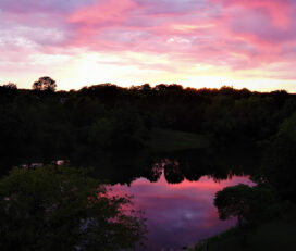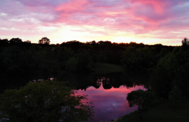


Drone King UAS provides aerial photography, inspection services, and surveying across the Rocky Mountain region. We specialize in drone inspections, terrestrial LiDAR, and GIS mapping.
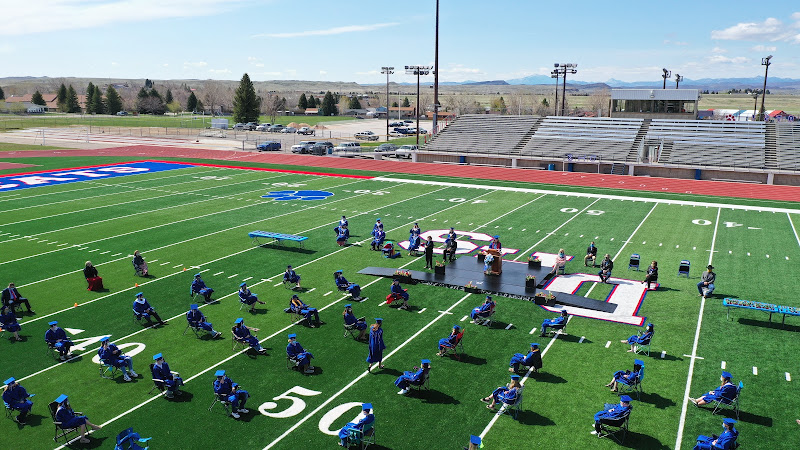
Common group events such as sporting events, concerts, graduations, car shows, or real estate can be captured using high definition still photos or video.
Using drone imagery, DroneKingUAS can produce useful products including elevation surface models (DEM/DSM/DTM), ortho-mosaics, 3D models, contour maps, plant health models, volumetric surveys, and more.
November, 2025
Saturday
6:00 am - 6:30 am
6:30 am - 7:00 am
7:00 am - 7:30 am
7:30 am - 8:00 am
8:00 am - 8:30 am
8:30 am - 9:00 am
9:00 am - 9:30 am
9:30 am - 10:00 am
10:00 am - 10:30 am
10:30 am - 11:00 am
11:00 am - 11:30 am
11:30 am - 12:00 pm
12:00 pm - 12:30 pm
12:30 pm - 1:00 pm
1:00 pm - 1:30 pm
1:30 pm - 2:00 pm
2:00 pm - 2:30 pm
2:30 pm - 3:00 pm
3:00 pm - 3:30 pm
3:30 pm - 4:00 pm
4:00 pm - 4:30 pm
4:30 pm - 5:00 pm
5:00 pm - 5:30 pm
5:30 pm - 6:00 pm
6:00 pm - 6:30 pm
6:30 pm - 7:00 pm
7:00 pm - 7:30 pm
7:30 pm - 8:00 pm
8:00 pm - 8:30 pm
8:30 pm - 9:00 pm
9:00 pm - 9:30 pm
9:30 pm - 10:00 pm
10:00 pm - 10:30 pm
10:30 pm - 11:00 pm
11:00 pm - 11:30 pm
11:30 pm - 12:00 am
August 26,2019
Awesome Job!
We have received your appointment and will send you a confirmation to your provided email upon approval.
 Own or work here?
Claim Now!
Claim Now!
Own or work here?
Claim Now!
Claim Now!

/ Per Listing
Lorem ipsum dolor sit amet, lorem sit.
/ Per Listing
Lorem ipsum dolor sit amet, lorem sit.
Claim request is processed after verification..